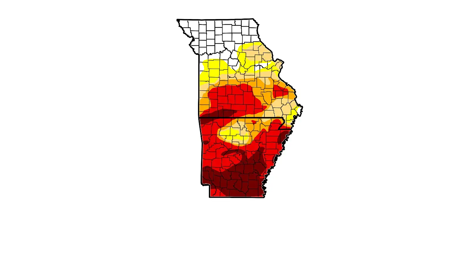
Despite some areas receiving rain earlier this week, not much has changed as far as drought conditions.
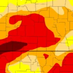
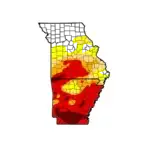
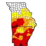
The latest map from the U.S. Drought Monitor indicates that all of southwest Missouri and northwest Arkansas remains at some level of drought.
The hardest hit area currently in the Ozarks is in southern Missouri, where most of Barry, Stone, and Taney Counties continue to be at an Exceptional Level, the highest drought level on the monitor’s scale.
The area, which includes the Branson region along with areas around Bull Shoals and Table Rock Lakes and Lake Taneycomo, continues to show declining soil moisture and low water levels. Wildfire risks remain high in the region as well.
Conditions are just slightly better in northern Arkansas with areas north west of a Bull Shoals-Harrison-Huntsville line are at an Extreme Level while areas around the Buffalo National River are at a Moderate to Abnormally Dry Level.
Just slight chances of rain are in the forecast with mostly dry conditions expected to continue over the next seven days.