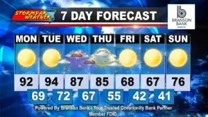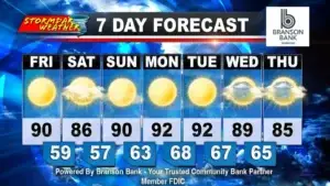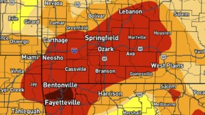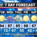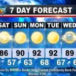
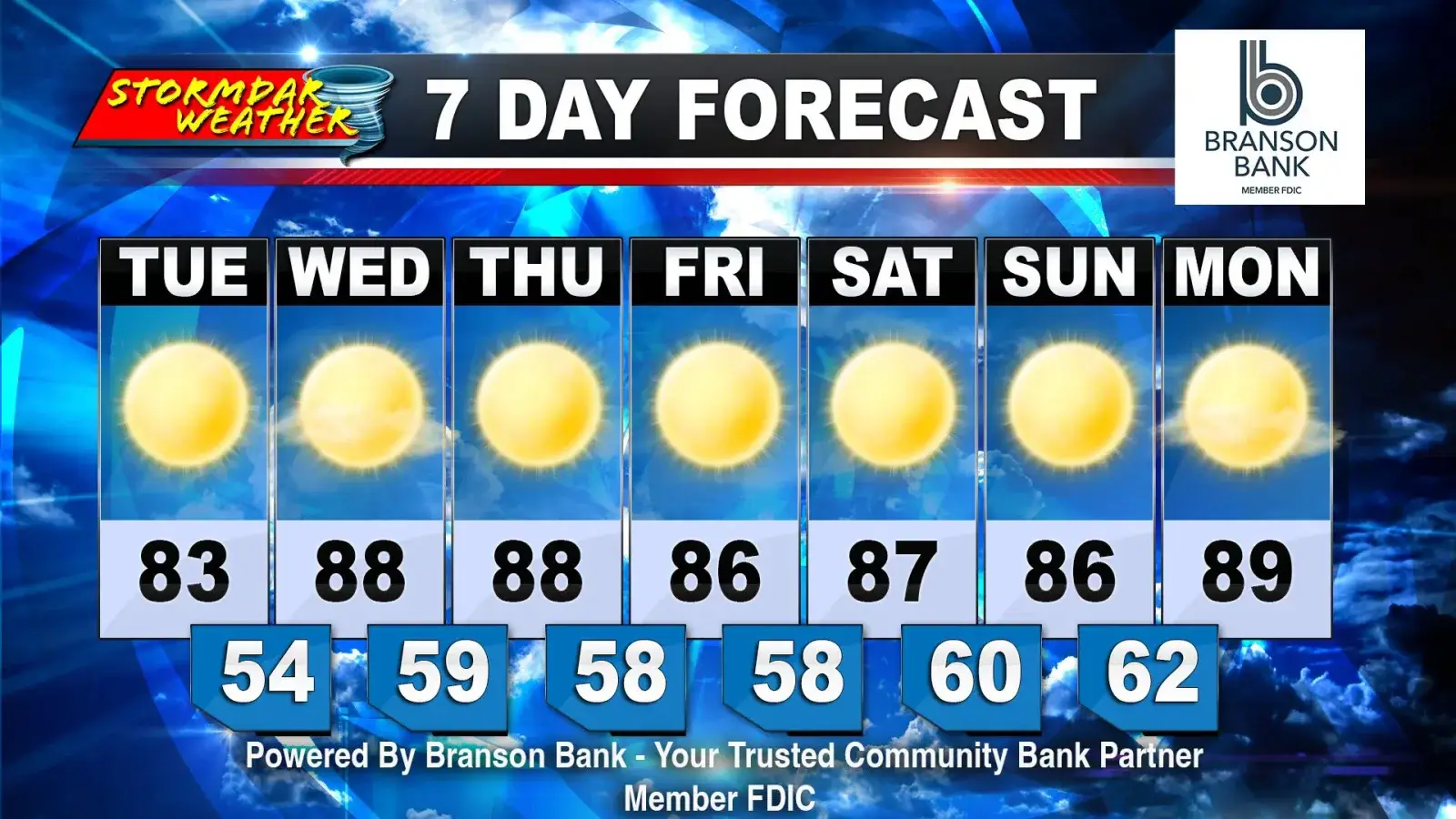
BRANSON, Mo. — High pressure remains firmly in control across the Ozarks, bringing sunny skies and daily high temperatures in the 80s, with little indication of meaningful rainfall through mid-October.
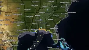
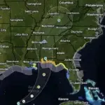
A tropical system developing in the Gulf is forecast to move north toward the Louisiana and Mississippi coast. Moisture associated with that system is expected to stay well east of the Branson area, limiting its potential to bring rain locally.
One forecast model suggests a few showers could develop just east of Branson around Oct. 11. That possibility remains worth monitoring, but confidence in rain reaching the area is low.
A more noticeable change could arrive around Oct. 16, when a cold front is expected to move through the region. Forecast models differ on the strength of the temperature change. The GFS model shows a sharper drop as the front passes, while the European model suggests a less pronounced cooldown.
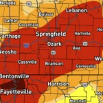
Even with that front, moisture appears limited. There are currently no strong signals for widespread, meaningful rainfall through mid-month.
For now, the forecast favors continued warm, sunny weather. The main things to watch are whether showers can reach farther west around Oct. 11 and how much cooler the air turns behind the potential mid-month front.