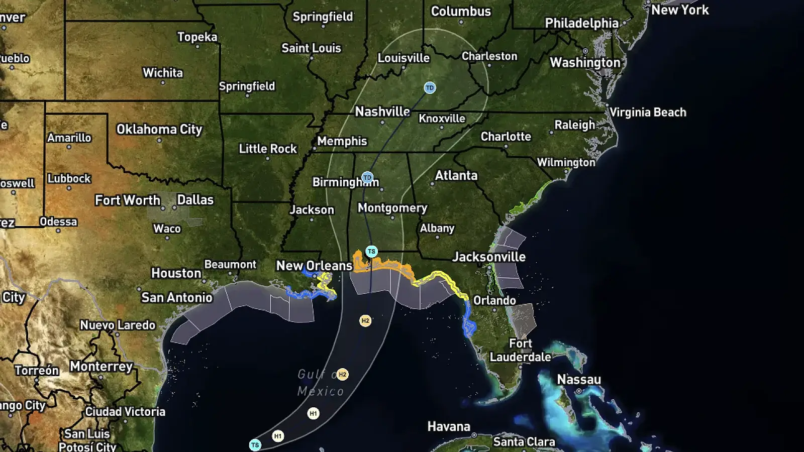
BRANSON, Mo. — Tropical Storm Isaias has formed in the Gulf of America and is expected to strengthen into a hurricane before making landfall along the Gulf Coast. While the storm could bring significant impacts to parts of the Southeast, current forecasts suggest the Branson/Tri-Lakes area will once again miss out on the rainfall it desperately needs.
As of Wednesday morning, Tropical Storm Isaias had maximum sustained winds of 45 mph and was located about 540 miles south-southwest of the mouth of the Mississippi River. The National Hurricane Center expects the storm to strengthen considerably as it moves east-northeast across the warm Gulf waters, becoming a hurricane Thursday before approaching the Gulf Coast late Friday.
Hurricane and storm surge watches have already been issued for portions of the Gulf Coast, with the greatest concern currently stretching from southeastern Louisiana eastward toward Mississippi, Alabama and the Florida Panhandle. Heavy rainfall, damaging winds and storm surge could become significant concerns near and east of the eventual landfall location.
Little Help for the Ozarks
For southwest Missouri, however, the story appears to be very different.
Forecast guidance continues to favor a track that carries Isaias and its tropical moisture east of the Branson/Tri-Lakes region. The National Weather Service in Springfield said most guidance keeps the tropical system east of the Missouri Ozarks before lifting it northeastward toward the Ohio Valley.
That means the large shield of tropical rainfall associated with Isaias is unlikely to make it far enough west to provide substantial drought relief around Branson, Table Rock Lake and the surrounding Ozarks.
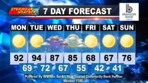
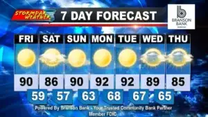
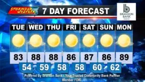
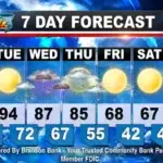
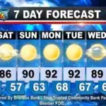
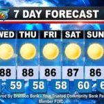
In fact, the latest forecast for Branson contains no measurable rain through at least Tuesday, with mostly sunny to sunny skies expected through much of the period. Temperatures are also forecast to remain unusually warm, reaching around 90 degrees Thursday and Friday before remaining in the middle to upper 80s through the weekend.
Drought Conditions Expected to Continue
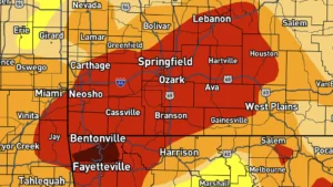
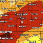
The continued dry pattern is especially unwelcome as drought conditions persist across southwest Missouri.
The National Weather Service says confidence remains high in dry weather and above-normal temperatures, and specifically notes that continued dry conditions are expected to worsen drought conditions through the week.
The effects are already becoming noticeable across the region, with trees in areas of shallow and rocky soil showing increasing signs of moisture stress.
While even a small westward shift in the eventual track could bring some additional moisture closer to the eastern Ozarks, the Branson/Tri-Lakes area remains well west of the corridor currently expected to receive the storm’s significant rainfall.
For now, residents along the Gulf Coast will be preparing for too much rain while the Ozarks continue waiting for not nearly enough.
Stormdar Weather will continue monitoring Isaias and any changes in its track, along with the next opportunities for meaningful rainfall in the Branson/Tri-Lakes area.