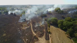
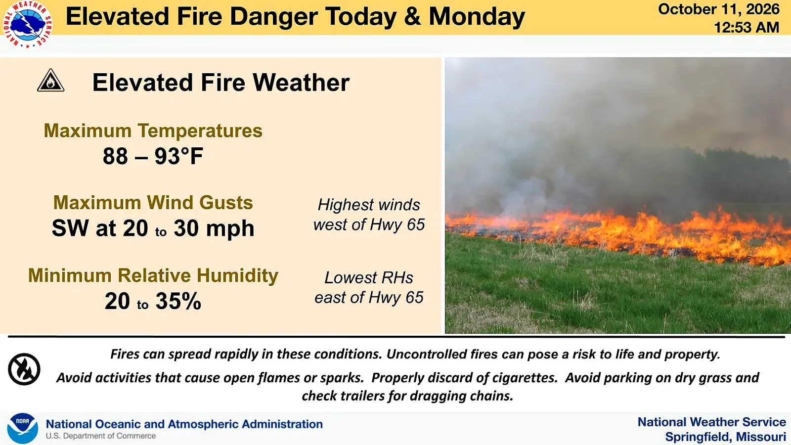
The National Weather Service reports an elevated fire weather risk across the Missouri Ozarks today due to a combination of hot temperatures, very dry air, and increasing south to southwest winds. Areas along and west of Highway 65, including portions of southwest Missouri, are most at risk though northern Arkansas is also at risk according to forecasters.
For Monday, elevated fire danger is expected to continue as dry and breezy conditions persist.
Area officials continue to ask people to delay outdoor burning until conditions become more favorable.
Near record temperatures are expected over the next few days as highs could reach 90 or better in some areas.
Relief may arrive later in the week as shower and thunderstorm chances return to the Ozarks beginning Tuesday night through Thursday with much cooler temperatures expected by next weekend.