According to the National Weather Service, forecasters indicate the warm trend will continue through at least Tuesday as southerly winds keep temperatures well above seasonal averages.
High temperatures could reach the low 90s over the next few days with overnight lows remain unusually mild, generally ranging from the upper 50s to upper 60s.
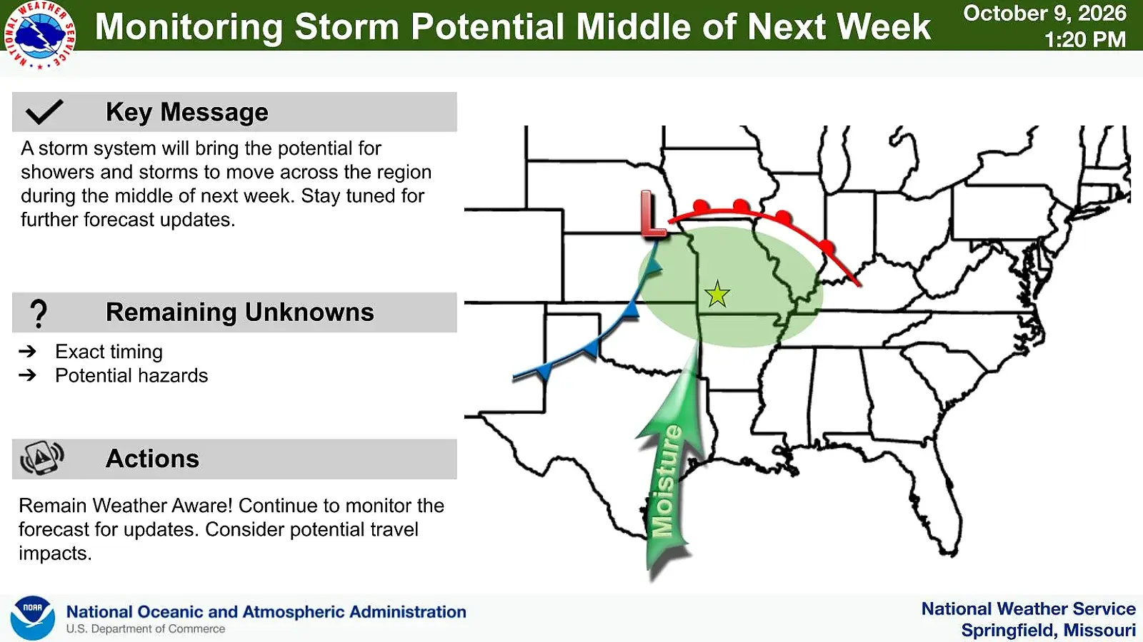
A cold front is forecast to move through the region Wednesday into Thursday, bringing the next opportunity for showers and thunderstorms. While widespread heavy rainfall is not currently anticipated, the system could provide some much-needed moisture to drought-stricken areas according to the weather service.
Temperatures will be cooler behind the front for forecast highs for next Friday in the 70s and lows in the 50s.